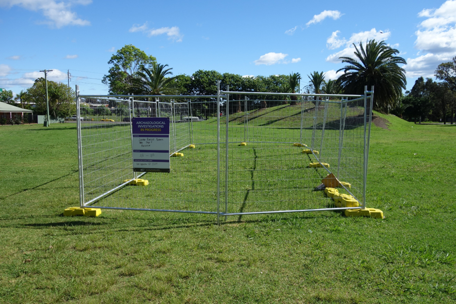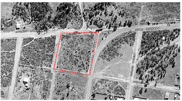
The excavation program was designed to test ground-penetrating radar results that were provided to Liverpool City Council as part of an earlier assessment by another consultant for their proposed landscaping plans for the park. The area was dedicated as a park in 1970, with subsequent works in the area by Liverpool City Council and the park was officially opened in 1974.

Machine excavation of relevant areas was monitored by archaeologists and an LCC surveyor. Monitoring indicated that the GPR results for the northern section of the park did not correspond with grave cuts, but instead reflected other features such as sand lenses, concrete footings and services. Grave cuts were only identified in one of the five areas excavated, at a deeper level than anticipated. In that area, a row of five or six partial grave cuts were identified on an east to west alignment. The work and associated research is shedding light on the burial practices associated with the historical Roman Catholic section of the ‘paupers’ burial ground, which is where inhabitants of the Liverpool Destitute Mens Asylum and later Liverpool Lunatic Asylum were interred during the late 19th century. Analysis of the fieldwork results is currently being undertaken – so stay tuned for an update soon!


