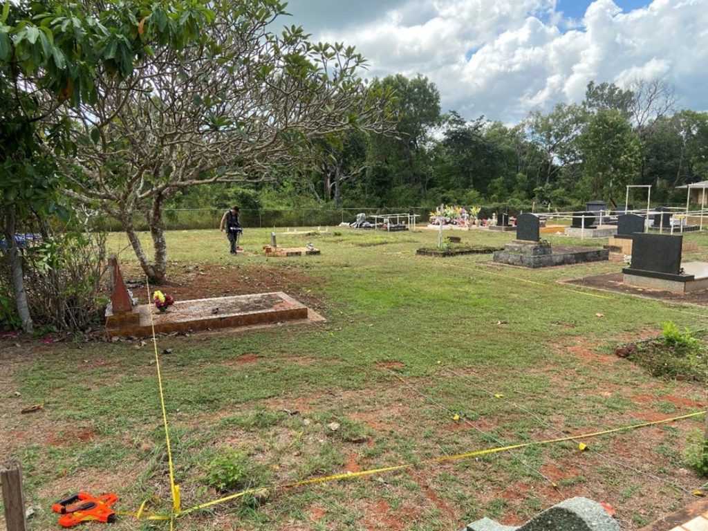
Using interviews with Elders, and archival records including old maps, photographs and other historical records such as death registers, we were able to identify individuals who were buried at the cemetery, but no longer had identifying markers. The hot and humid environment in Far North Queensland means that many of the old markers, especially those made of wood, which can be eaten by termites within a season, had decayed or become unreadable.

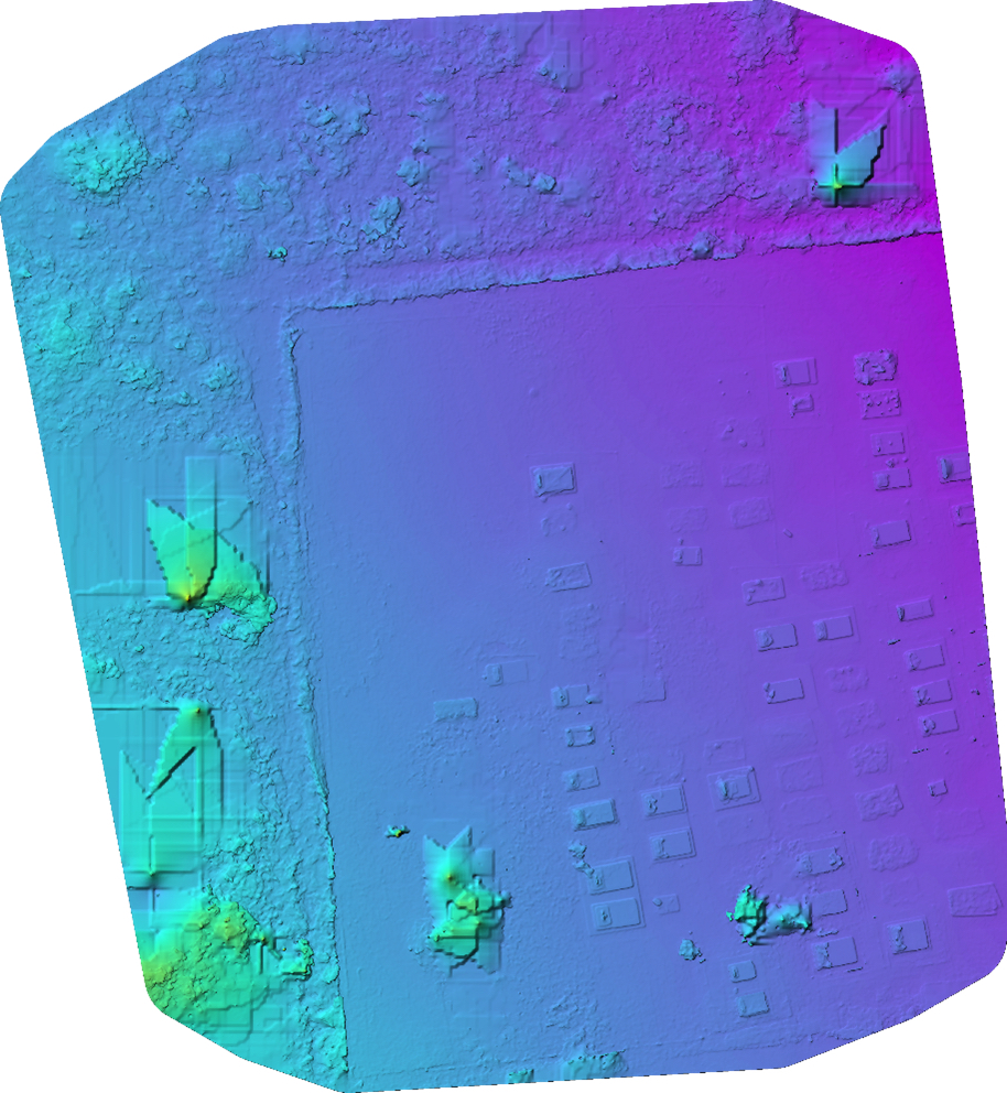
Elders also requested the use of ground-penetrating radar, and 18 unmarked graves that had been forgotten or lost over time were identified with this method. The use of drone imagery and 3D modelling was used to create detailed mapping of the cemetery and combined with the oral history and archival research an inventory for the cemetery was created. This inventory forms part of the management strategy for the cemetery along with an implementation plan for maintenance of the site.

Results were presented to Elders and the community in early September, with everyone relieved and happy to have the old graves identified and the resting places of family members identified once again. Elders were able to reconnect with their past by viewing old photographs and video footage that many had never seen before, having been stored in the State Archives for decades.


